GPS Area - Distance Measure
Get professional-grade land and distance measurements using just your smartphone. No expensive equipment needed – mark points on the map and calculate area, distance, and boundaries in seconds.
Everything You Need to Measure Land Accurately
GPS-Powered Accuracy
Get precise measurements using advanced GPS technology. Calculate field area and land size with professional-level accuracy without paying for expensive surveying equipment or services.
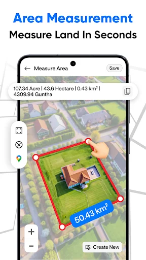
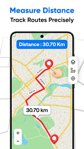
Measure Area and Distance
Mark multiple points on an interactive map to measure both land area and distances. Perfect for checking plot sizes, mapping field boundaries, tracking routes, or planning outdoor projects.
Save Every Measurement
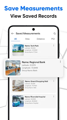
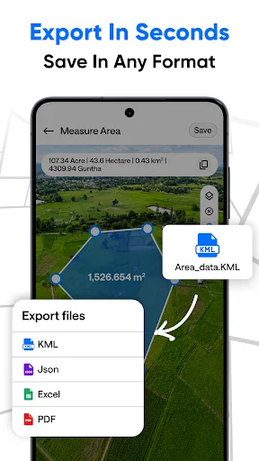
Never lose important data again. Store your measurement history and access it anytime you need to review past calculations or share property information with others.
Simple for Everyone
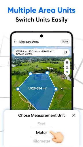
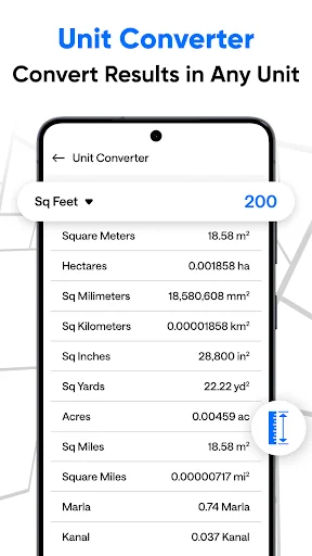
Easy-to-use interface works for beginners and professionals alike. Choose from multiple units including acres, hectares, square meters, feet, kilometers, and miles to match your needs.
GPS Field Area Measure
GPS Field Area Measure is a powerful and easy-to-use GPS-based tool designed to measure field area, land size, and distance with high accuracy.
Whether managing agricultural land, working in real estate, or measuring outdoor distances, this app provides reliable tools to calculate area and distance directly on the map using GPS technology.
With a simple interface and precise calculations, users can quickly mark points on the map and measure any land or field in just a few taps.
Key Features
- Accurate field area measurement using GPS - Measure land and field area precisely by placing points on the map.
- Distance measurement tool - Calculate distance between multiple points for routes and boundaries.
- Real-time GPS tracking - Track current location and measure surrounding areas easily.
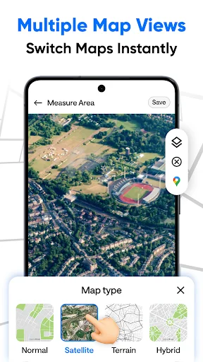
- Map-based measurement - Use interactive maps to mark locations and calculate area and distance.
- Multiple units support - Supports Acre, Hectare, Square Meter, Square Feet, Kilometer, Meter, and Mile.
- Save and manage records - Store measurement history and access it anytime.
- Fast and lightweight - Optimized for smooth performance with low battery usage.
Who Can Use This App
- Farmers for agricultural land measurement
- Surveyors and field engineers
- Real estate professionals
- Property buyers and land owners
- Travelers and outdoor users
Use Cases
- Measure farm land and field area
- Calculate plot size before buying
- Track travel distance and routes
- Measure land boundaries
- Plan outdoor activities
Why Choose GPS Field Area Measure
- High accuracy using GPS technology
- Simple and user-friendly interface
- Quick and reliable calculations
- Suitable for both beginners and professionals
Privacy and Safety
Location data is used only for measurement purposes to provide accurate results. No personal data is shared without user permission.
See How Simple Land Measurement Can Be
Trusted by Thousands of Users Worldwide
very useful and accurate app for land measurements and distance calculation. intarface is simple and easy to use
good gps area easy to use gps stamp, dayli used super app.....gps area mesurmant and distance manage like a pro
very easy to use app for area and distance measurement smooth performance and great gps accuracy........
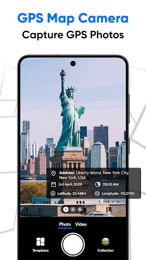
gps area measurement and gps stamp super work fast capture image stamp are very good design 👍⭐👍
gps stamp geo function is super 👌 also gps area measurement easy and fast......
gps stamping super function gps gps area measurement